Easy to moderate hike; sure-footedness and a head for heights required – off-trail terrain
Start at the entrance to the Langtauferer Valley, car park for the Grauner Alm, 1,580 m
Finish at the Krampussaloch natural monument, 1,800 m
Total elevation gain 220 m
Total walking time approx. 3 hours
Total distance 2.4 km
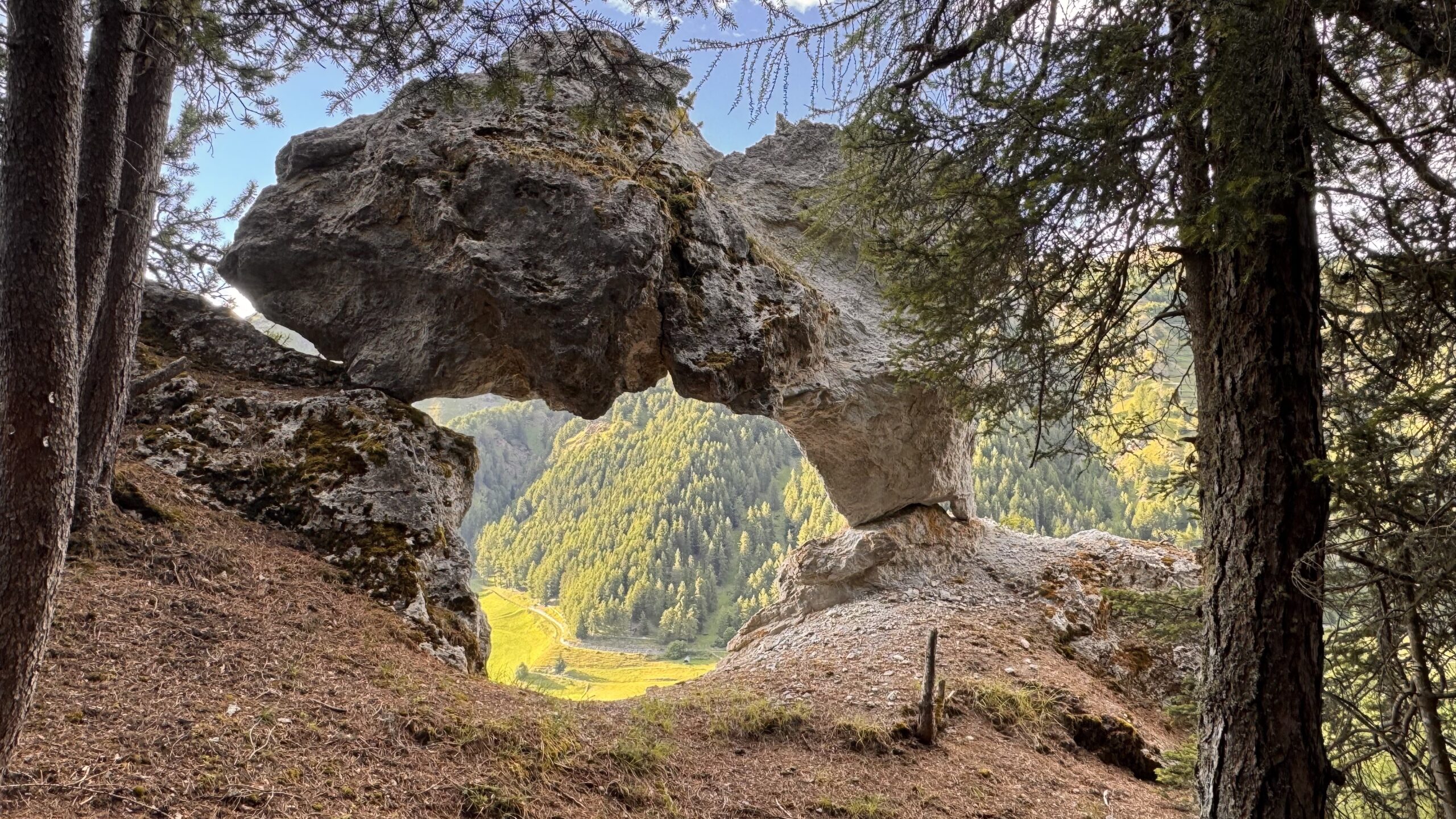
The “Krampussaloch”, also known as the Lochkofel, is a freestanding, geologically young post-glacial erosion remnant in the gypsum-bearing dolomite-rauhwacke series of the Karn, striking in both form and colour. The rock formation, situated at just under 1,730 m above sea level, is located orographically to the left of the Langtauferer Valley (known as “unter t’ End”), south of the hamlet of Malsau, within the “Natura 2000 area” of the Endkopf Joggl. Rainwater and meltwater channelled by chance, combined with increased growth of algae – predominantly blue-green algae – and lichens, have over long periods created a pattern on the rock that bears a striking resemblance to a larger-than-life black figure. From a distance, the entire rock formation itself resembles a figure, with the uppermost section – the head – formed by two massive, mutually supporting blocks of dolomite resting on a narrow base, thus tracing the outline of a mighty, round gateway. Given these circumstances, it is reasonable to assume that the popular name “Krampussaloch” was not far off.