Achallenging mountain hike (only recommended with a guide); sure-footedness, a head for heights, and the ability to walk using a rope, ice axe and crampons are essential
Start: Melag 1,920 m
Finish: Weißkugel 3,739 m
Total ascent 1,850 m
Total walking time 7 hours
Total distance 16 km
At the far end of the high valley, with its rugged charm and great beauty, lies the Weißkugel – its original name derived from ‘Weißer Kogel’.
The Weißkugel, the second-highest peak in the Ötztal Alps, was first ascended in 1861 from the Ötztal by Josef Anton Specht from the Allgäu and two local guides: Johann Raffeiner and Toni Finailer from Unser Frau in Schnals, and Leander Klotz from Rofen in the Ötztal.
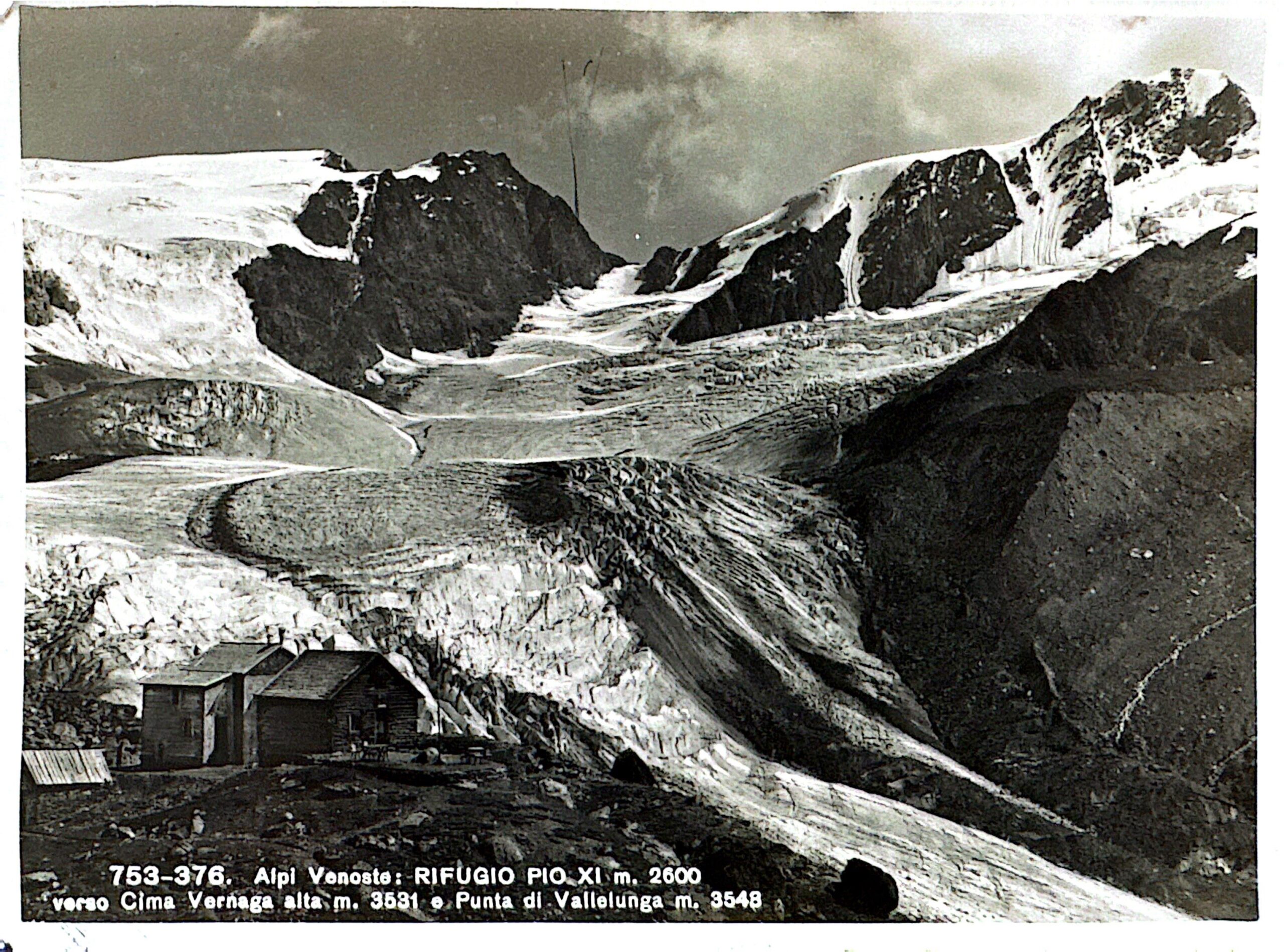
The first documented ascent of the Weißkugel took place in 1845, starting from the Schnalstal valley, by Johann Gurschler (Kurzhof) and Josef Weihtaler from Unser Frau in Schnals. In 1865, the first cadastral survey was carried out by three men from Schnals and a Kaiserjäger. In 1893, with the construction of the Weißkugelhütte by the Frankfurt am Main section, the Weißkugel was climbed via the Weißkugeljoch and the east-northeast ridge. In 1923, the hut was expropriated and renamed the “Rifugio Pio XI alla Palla Bianca”. Following a prolonged period of closure, the hut was then open from early July to mid-September in 1961. The Weißkugel, with its pyramid-shaped summit, can be reached from the hut in 4–5 hours, though the climb should not be underestimated. Many dangers lurk along the way, in both summer and winter, which are only apparent to experienced mountaineers. Numerous crevasses, most of which are covered and barely visible from above, line the ascent route. Rockfall and ice slopes are encountered on the way to the summit. Proficiency in rope techniques, using both short and long ropes, is therefore essential.